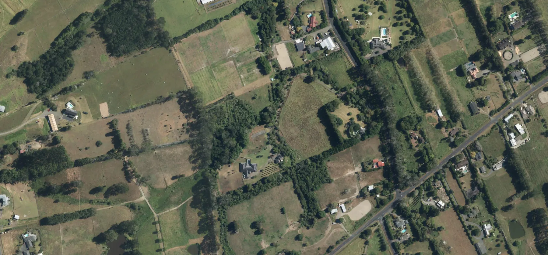
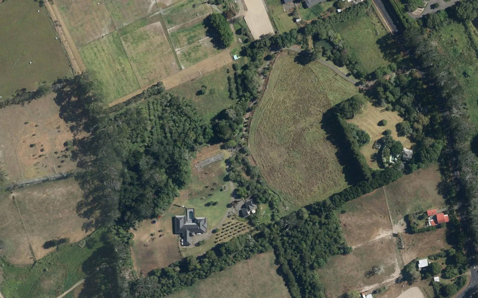
Future Urban land on Motu Road, Kumeū, 65,632 m² in area, held as part of Three Brothers Group’s long-term landbank in Auckland’s northwest.
Landbanking secures well-located land ahead of rezoning and infrastructure. We take a long-term view of this site, measured in ten years or more, alongside our Whenuapai development land.
Kumeū-Huapai sits on the SH16 corridor beyond Westgate, connected to NorthWest and the city by bus routes 122, 123 and 125.
* Long-term landbank; timing depends on Council sequencing, infrastructure and approvals.Disclaimer
Land area is a reported property measurement. No development yield, building area or end value is assumed for landbank sites. Area sources Disclaimer
Landbank strategy.
Held today for the next stage of the northwest.
Our Kumeū holdings are a long-term landbank: four Future Urban sites totalling about 180,873 m² on the SH16 corridor, held alongside our Whenuapai development land.
Landbanking means securing land ahead of rezoning and infrastructure, and holding it patiently while planning and servicing catch up. Our horizon for these sites is ten years or more, with timing following Council sequencing and the delivery of major infrastructure.
Together with Whenuapai, the landbank gives the group a pipeline across Auckland’s northwest, from land in planning today to land for the decades ahead.
Future Urban zoning identifies land for eventual urban growth. Council’s current strategy sequences Kumeū-Huapai for the longer term. Disclaimer
This site.
Future Urban Zone
Auckland Council’s zoning data shows this site within the Future Urban Zone, inside the Kumeū-Huapai future urban area. Council hazard maps show flood plain, flood-prone areas and overland flow paths touching the site; the affected extent has not been assessed.
Source: Auckland Council GIS · Unitary Plan base zone, checked 26 October 2026.
Council sequencing.
Auckland Council’s Future Development Strategy 2023–2053 lists Kumeū-Huapai as not before 2050+ and red-flags the southern future urban area for downstream flood risk. Council has since reported that there is currently no practical large-scale solution to reduce Kumeū flood risk.
Infrastructure the Strategy lists ahead of urban occupation includes SH16 upgrades, an Alternative State Highway, the Access Road upgrade and the Northwest Rapid Transit extension to Huapai. New planning laws passed in September 2026 may change how and when plan changes proceed.
The northwest is changing. These dated updates explain what has opened, what is being prepared and what remains a future proposal. Source review: 25 October 2026.
Northwest Busway and the planned Brigham Creek station.
NZTA reports that the Northwest Busway – Te Ara Hauāuru received its Fast-track statutory approvals in September 2026. The planned corridor follows SH16 between Brigham Creek and Auckland’s city centre, with a Brigham Creek Rarawaru station and park-and-ride and connections through Westgate.
NZTA also states that design development, programme planning, funding and property decisions remain before construction can start. Approval of the corridor is a significant planning milestone, but it is not an opening date or confirmation of construction funding.
NZTA’s two-stage safety and capacity programme identifies the Huapai–Waimauku stage as complete. The Brigham Creek–Kumeū stage remains in design and property-acquisition engagement.
Proposals include four lanes between Brigham Creek and Taupaki roundabout, a roundabout at Coatesville Riverhead Highway and a shared walking/cycling path. This is wider corridor context; no completion date, guaranteed journey-time saving or direct access entitlement is assumed for this development.
Third-party public infrastructure programmes may change. They do not guarantee a service connection, approved capacity, an opening date, funding or development rights for this project. Follow the linked delivery agencies for the latest status. Disclaimer
Nearby.
Kumeū and Huapai sit on the SH16 corridor in Auckland’s rural northwest, a long-term growth area beyond Westgate.
Around the northwest
Huapai
Huapai Triangle
A residential precinct of about 653,700 m² in Huapai, with Unitary Plan provisions enabling a maximum of 1,200 dwellings.
These are separate places and developments in the surrounding area, not facilities within this site or Three Brothers developments. Proposed features and school zones may change. No travel-time or enrolment guarantees are made. Disclaimer
Map shows Motu Road, Kumeū. The site’s exact location and boundaries are not shown. Aerial images include neighbouring properties; capture dates and current site status are not established. Disclaimer